Surrey’s Satellite bio-diversity project promoted at COP30 Brazil
Surrey’s Space4Nature project, which uses satellite data and community science to protect biodiversity across the county, is currently being showcased by the UK Government at the COP30 UK Pavilion in Belém, Brazil (10–21 November 2025). The display forms part of the UK’s official presentation of research and innovation tackling global climate and nature challenges.
Co-led by the University of Surrey’s Centre for Environment and Sustainability (CES) in collaboration with Surrey Wildlife Trust, Buglife, and the Painshill Park Trust, Space4Nature brings together scientists, local communities and conservation groups to map and monitor key habitats across Surrey – from chalk grasslands to heathlands and acid grasslands that support some of the nation’s rarest species.
Using advanced satellite imagery and artificial intelligence trained with data from local volunteers, the project can classify habitats to Level 4 of the UKHab system – producing one of the most detailed environmental maps of its kind. This allows conservation partners to pinpoint where biodiversity is under threat and focus restoration efforts, such as reconnecting fragmented chalk grasslands – often called the “rainforests of Europe” for their carbon storage and rich biodiversity.
Surrey Wildlife Trust plays a central role in Space4Nature, leading the project’s citizen science programme, training volunteers and coordinating the collection of field data that makes its satellite and AI mapping possible. The Trust’s on-the-ground expertise connects technology and conservation, turning local knowledge into invaluable data for protecting Surrey’s landscapes.
Dr Ana Andries, Lecturer in Remote Sensing and GIS at the University of Surrey, and project lead, said:
“We’re using satellite data and artificial intelligence in a way that directly supports conservation on the ground. Citizen scientists help train our machine learning models, thus turning local field data into high-resolution habitat maps that reveal where biodiversity is under threat. To see our work featured on a global stage at COP30 highlights how our region’s innovation and collaboration can help shape the future of biodiversity monitoring.”
Andrew Jamieson, Space4Nature Project Manager at Surrey Wildlife Trust, says:
“It’s time for conservation organisations like ours to step outside traditional boundaries and focus not just on land management and individual species recovery, but also on delivering the tools and partnerships that will drive change on a landscape level. This project exemplifies that approach.”
Space4Nature was among the first projects in the United Kingdom to receive Space for Climate Observatory (SCO) accreditation from the UK’s Space4Climate network, recognising its excellence in using Earth observation data to tackle environmental challenges. This year, it has been selected as one of just 19 organisations featured in the UK Government’s Pavilion at COP30, with a video and QR-linked display presented by government representatives throughout the conference.
Dr Zoe M Harris, Director of Surrey’s Centre for Environment and Sustainability and Co-Director of the Institute for Sustainability, said:
“The Centre for Environment and Sustainability was founded on the idea that solving environmental challenges means bringing disciplines and people together. Space4Nature embodies that vision – combining engineering, data science and community insight to create practical tools for nature recovery. Seeing this work recognised at COP30 highlights Surrey’s role as a global leader in sustainability research and innovation.”

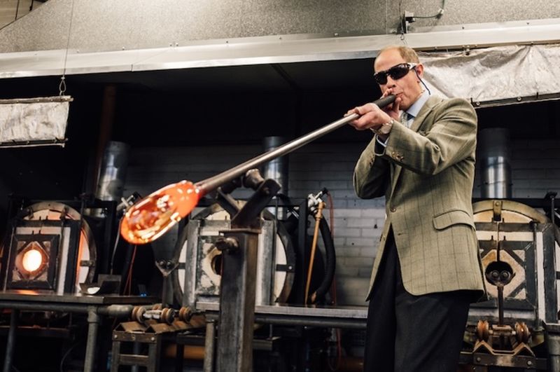
Image: Centre for Environment and Sustainability, University of Surrey
Epsom and Ewell Times adds – the Surrey project is one of only twenty presented by the UK at the COP30 summit. See the full list HERE.


